Public Map is a four and a half year research project led by Cambridge University to make places in the UK better for the people who live there


The process for planning our places should be accessible, engaging and empowering
This project seeks to transform the UK planning system to make this a reality.
Why Are We Doing This?
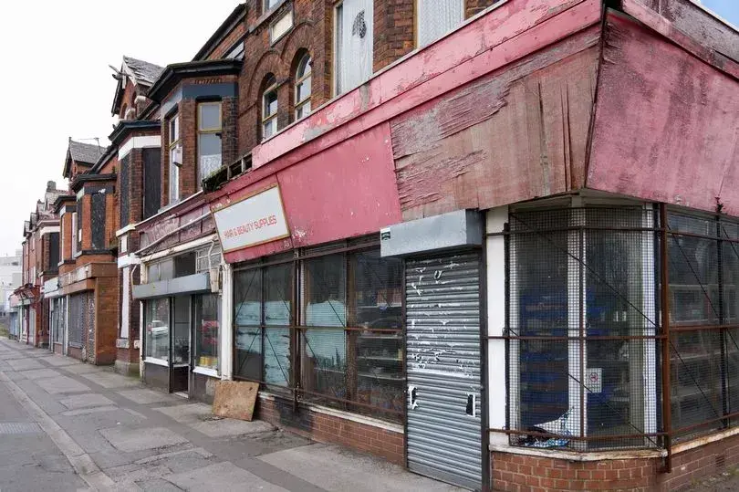
Planning is intended to help us design and organise spaces where we can thrive, but it has consistently been falling short...
Latest Blog
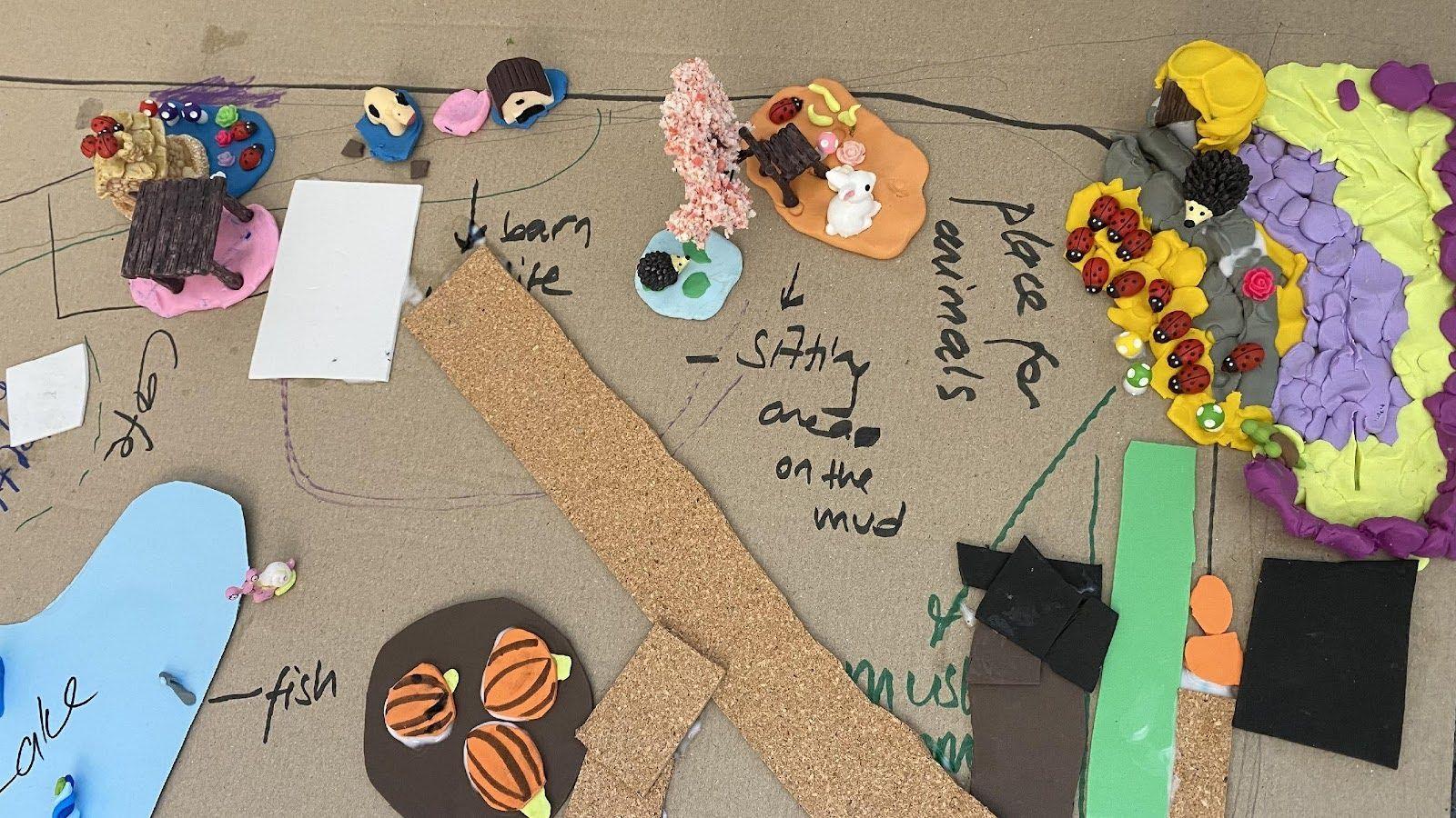
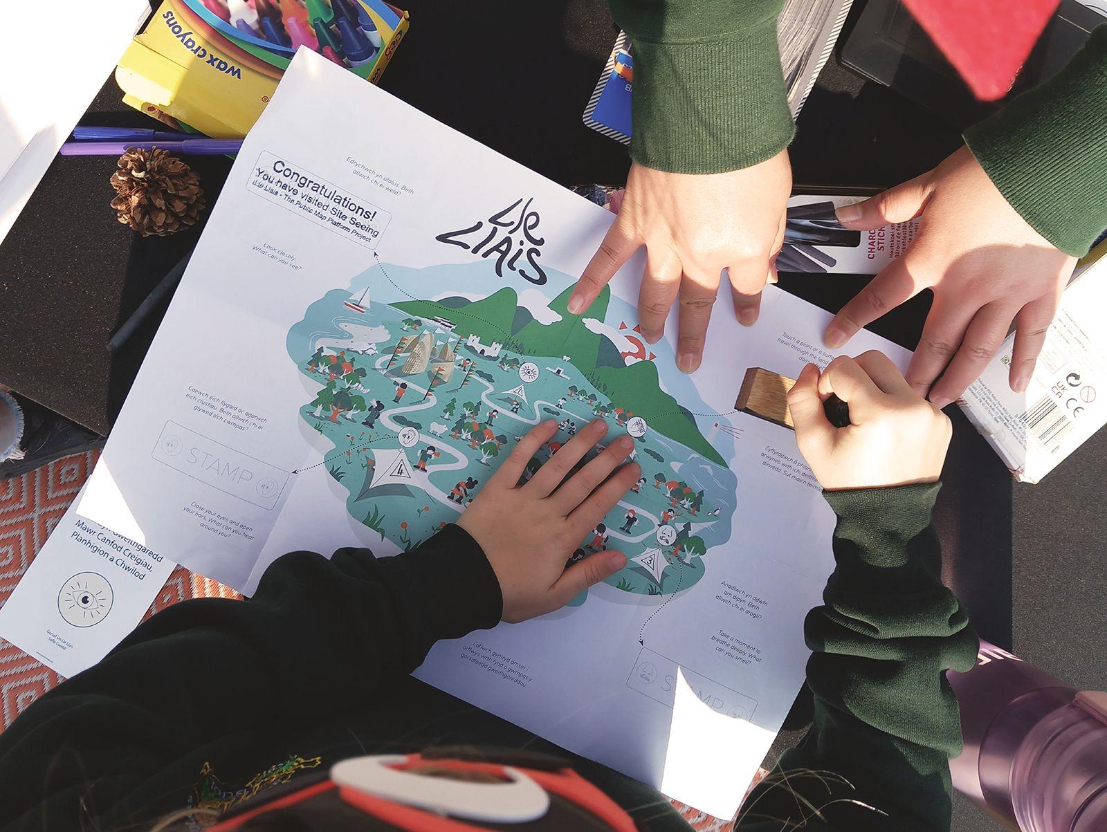
Social Mapping – Integrating social mapping in teaching and learning
In this blog, Matluba Khan and Tom Smith share how we’re building a set of educational and learning resources, mapped to the Curriculum for Wales, to enable anyone to pick up and use them as learning tools and in so doing, also help to create a social map layer on Public Map.


Latest News

Inspire Future Generations Award Winners!
We are thrilled to have been awarded a Thorton Education Trust Inspire Future Generations award in the Materials and Resources category for our work on symbology!

What People Are Saying
“I just came out of the all-Wales Local Nature Partnership meeting today and a few people were talking about how exciting the Public Map project is and how it could be a 'game-changer' for Local Nature Partnerships in the future! I know everything is stressful right now but just wanted you to know that people are very bought-in and cheering for the project to succeed.”
Aurora Hood
Local Wildlife Officer, Cyngor Ynys Môn
“We have had so much fun being part of this project, all the pupils have been engaged with all the activities from mapping their journey to school, mapping local areas that are important to them and going on a trip to taking part in the personal air sensor research - this information was so interesting! Our air sensor in the classroom has provided very interesting data too where we have discovered that CO2 is quite high, so we have been trying to lower it in different ways such as opening the door, buying plants, using an air purifier. All the staff that we have worked with have been so great and the workshops we've had have been so fun and the children have learned so much! We look forward to having more sessions with the environmental researchers in the new year. Diolch.”
Mrs Mari Edwards
Ysgol Gymraeg Morswyn
“What's great about your project in particular is that it is open source. in our world of digital boundaries and bubbles and spaces we live, it's great to be able to share and link information like this across services so that people can find things where they are rather than having to drag themselves digitally to ‘somewhere new’.”
Ben Freeman
Manager, DASH Ceredigion
Stay updated by subscribing to our mailing list
We will only use your details to keep you updated on the project.